Approximately 600 cinder cones dot the countryside just north of Flagstaff. Lenox Crater Trail is strenuous and leads 300 ft straight up the face of this cinder cone. We found the 1/2 mile trail to have about a 20% grade although from this angle it doesn't look like much at all. I'm not sure if it was harder going up or holding ourselves back on the descent.
As Lenox is an older cinder cone it doesn't have a pronounced crater but, a more shallow depression.
The view from the top, 8,030 ft elevation, is awesome.
This trail leads to the base of Sunset Crater. Along the way are the black lava beds.
Under the lava beds are most perhaps dozens of pithouses. Those that have been excavated have revealed few artifacts. This has led experts to believe that the residents had sufficient warning of the impending eruption.
This is Ponderosa Pine country at over 6,600 ft elevation. Look at the length of the needles!
More lava bed
Some of the trees grow twisted. Spiral growth increases flexibility in high winds and unstable cinders.
The twisting roots can more evenly distribute water to all the needles.
Cinder Hills Overlook
Here one can see a series of red cinder-covered vents. These mark a fissure along which the most recent volcanic activity occured.
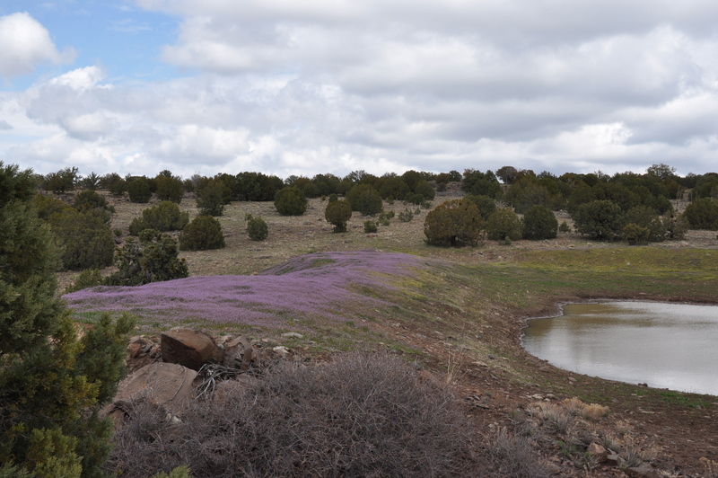
The painted desert can be seen in the distance as we travel between the two national monuments.
Wupatki where we find rock art, ruins and scenery. Their homes were built according to the sun and seasons.
Our friend Donna spent the day with us. More special time with a precious friend.
In the Wupatki area are several "blowholes" - crevasses in the earth's crust that appear to breathe. If the outside air pressure is lower than in the crack system, air is blown out - what it was doing at the time of our visit. If the outside pressure rises, air is driven into the blowhole.
The ballcourt which, as it name indicates, is where games where played.
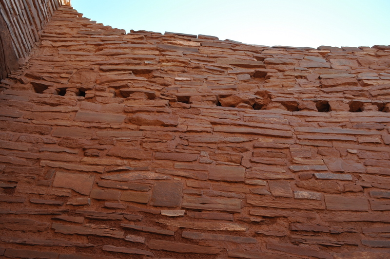
Roof supports (vigas) were removed long ago. They were pine poles and, many times, supported a second or even third floor.
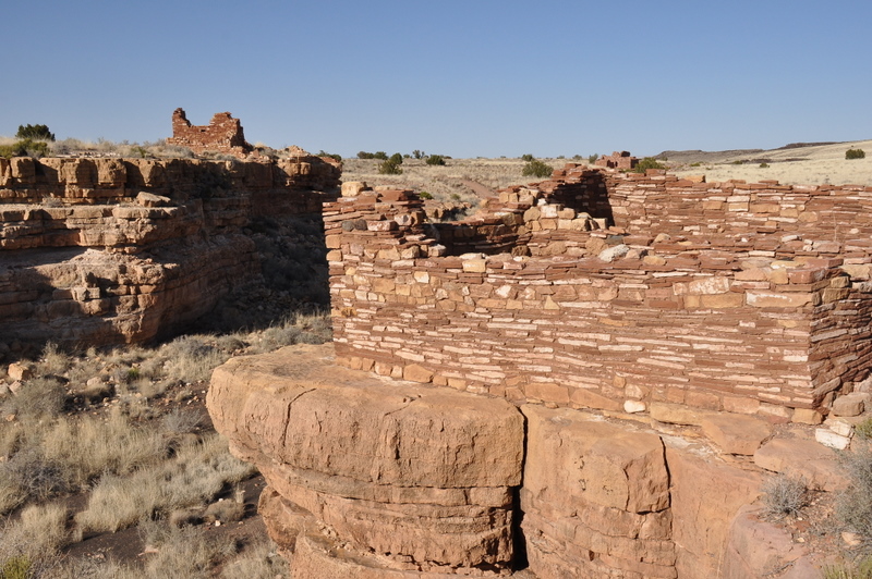
Wukoki is another pueblo ruin that is part of the Wupatki National Monument. It is a modern Hopi word meaning "Big House". This was once home to two or three prehistoric Indian families and was occupied from approx. 1120-1210.
The view in each direction goes to the horizon.
Lomaki, Hopi for "Beautiful House", was the final ruin that we stopped to see.
Three individual ruins indicate that the homesites were spaced nicely.
This is Antelope Prairie where the wind can knock a person flat.