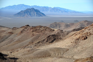
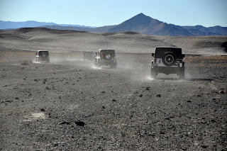
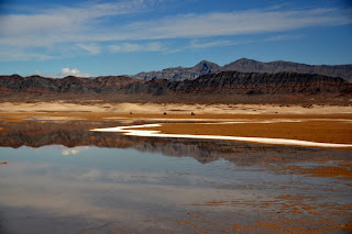
Death Valley is a land of contasts. The surface here is composed entirely of salt deposits that are mostly covered in mud. There are a few spires further down the valley but, even here, there are some amazing shapes and formations.  As far as the eye can see......
 The highest peaks in the Panamints are snow covered.
 Once in a while I wonder why we climb these rough, steep trails that lead to just one more mine.....
 then the colors are so lovely......
 and the views so breathtaking, well, I just can't wait until we climb the next one.

 The next one.
 As far as the eye can see......
 The highest peaks in the Panamints are snow covered.
 Once in a while I wonder why we climb these rough, steep trails that lead to just one more mine.....
 then the colors are so lovely......
 and the views so breathtaking, well, I just can't wait until we climb the next one.

 The next one.
The rail for the ore cars in still intact.


 Years later not many mining areas have buildings and artifacts that are in such good condition. Note the rock wall through the windows.


 Years later not many mining areas have buildings and artifacts that are in such good condition. Note the rock wall through the windows.


